

Wildfires are a part of the Australian ecosystem, but in recent years, their intensity has increased. In Australia alone, 72 per cent of tree loss is caused by wildfires. Additionally, fire patterns are significantly impacted by the transformation of weather patterns due to climate change, making traditional methods of detection and understanding less effective. However, thanks to the advancements in space technologies, new methods of detection and monitoring of wildfires are helping to understand the phenomenon.
One of the newest detection and monitoring methods available is thermal data from space, providing fast and in-depth information to enable new forms of wildfire preparedness and response. Historical space-borne thermal sensors have had both low-resolution sensors and long revisit times, making their effectiveness limited. To meet fast detection and short revisit times, new software, sensors and satellites are required – providing land managers and risk owners with wildfire intelligence supporting life and property.

The global leader in space-based thermal intelligence OroraTech has developed exactly this – the first all-in-one global wildfire detection, risk assessment, alert, real-time monitoring service, and damage analysis called Wildfire Solution. The innovation combines technological advances in multiple areas: AI, New Space and Cloud-based Big Data analytics to provide a unique dataset and platform tailored to customers’ needs, to best fight the spread of wildfires on a global scale.
There are a few advantages to thermal data from space, one being its speed. With more and more thermal sensors in space, the world is mapped out. The right tools down on earth, in combination with this imagery, can spot wildfires in their earliest stages. And as with every catastrophe, time is of the essence. One million dollars per bushfire can be saved on asset losses and suppression costs by detecting a wildfire early enough to prevent it from growing to more than 50 hectares in size.
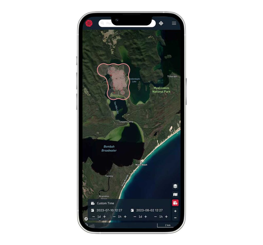
Thermal sensors, however, can do more than just detect wildfires as they spread. In regions that are prone to wildfires, historical data can also help with analyzing patterns and regional fire cycles. The more data that can be collected and stored and analyzed, the easier it is to recognize patterns. And with satellite imagery, as opposed to ground-based instruments only, a full-scale picture can be painted.
OroraTech already provides thermal intelligence products for a number of commercial and government customers in Australia, including the Tasmanian Parks and Wildlife Service, Forestry NSW and NSW National Parks and Wildlife Service. We are delighted to be showcasing our innovative solutions at AFAC23 alongside other world leaders in wildfire prevention, preparedness, response and recovery – please visit us at Stand 620 and meet the team!
For more information please visit: www.ororatech.com

You must be logged in to post a comment.